Thursday 24 September 2015

A babubali waterfall near dahel ghat, Dahel, Maharashtra 425452, India

Route:
Surat- Ankleshwar- valiya- Netrang- Dediapada- Juna Mosda- Sagai- turn left to Kokati- turn right to Horafali (Chorafali village) - nimbapati - walamba- odhi - chikhli- turn right - kothali- oghani- Dahel
in between oghani n dahel road
google location : 
21.703560, 73.947207

A beautiful waterfall in way to dahel, we travel with Discover dediapada group for 2 days tracking camp n on second day morning session we reach this waterfall,

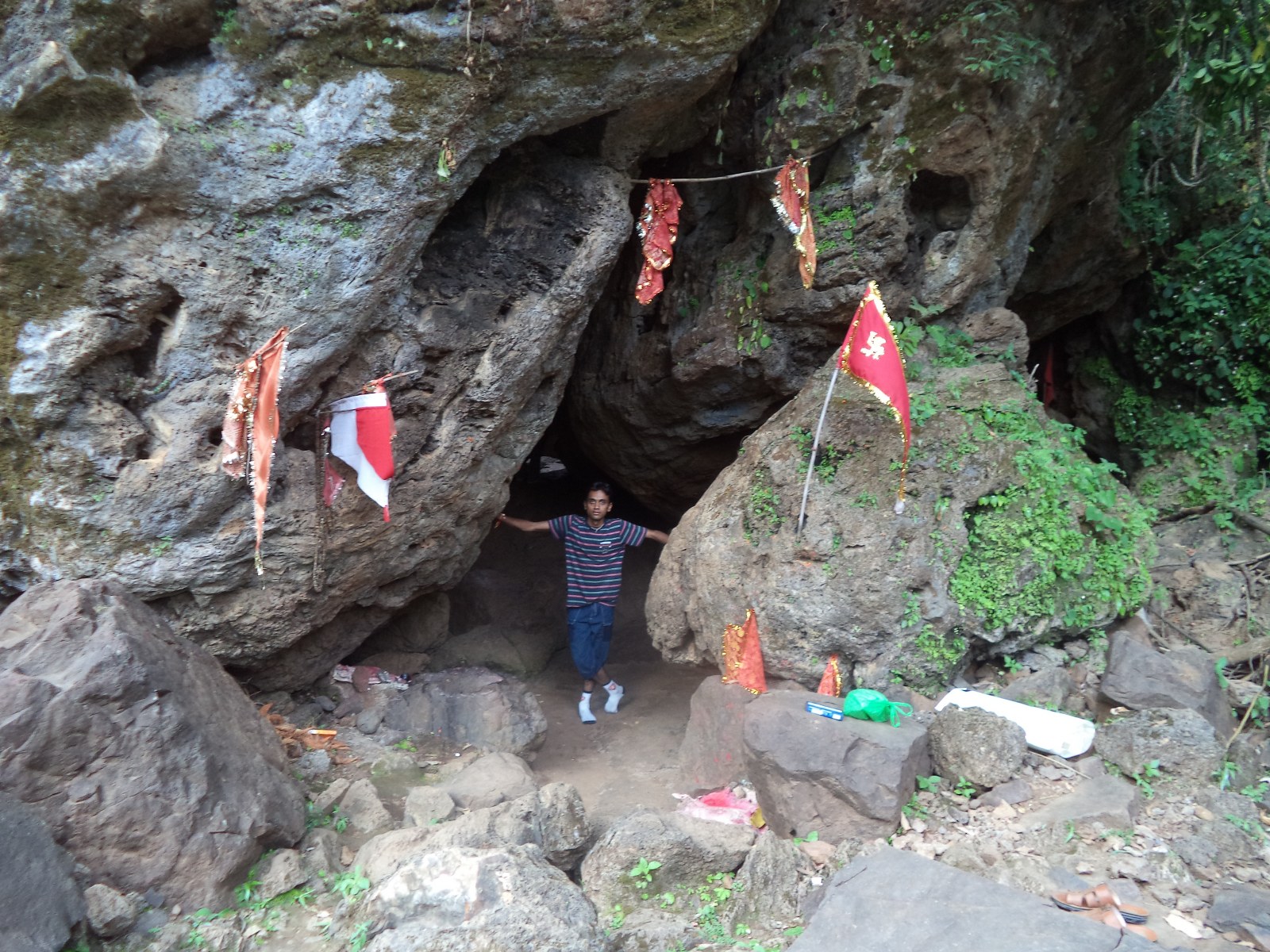
A unknown waterfall and it is not known or famous among tourist, because it is deep.
we give name BABUBALI WATER FALL because it look like bahubali movie waterfall

Height of fall is more then 300 feet
reach at base of waterfall  is difficult n track to 10-15 minutes n not easy path. make some paths by our self to reach base
after reaching at base awesome view n our all hard work is 100% worth to reach their.

Note: 
No accessible road on google map, NO road update in google map
you can reach help of local or contact Dr Nitin 09824579225 or Discover Dediapada group Urvish 08446128183


google location : 

21°42'12.8"N 73°56'50.0"E

21.703560, 73.947207


velly view from top of fall

on way track to word fall in dense forest

first base of fall
full view side

full view front


Dr nitin 

Dr nitin n Dr Shailesh

Tuesday 15 September 2015

Ninai waterfall ( Dediapada ) spot for nature lover, tracking, family picnic

Date Of Journey: 12/09/2015

Route: Surat- Kamrej- Ankleshvar- turn towards Valiya- Netrang- Dediapada- turn left towards Shoolpaneshvar wildlife senctury- Nani singloti- bal- Juna Mosda-patvali-dabka- sagai-kokti- Ninai- turn left toward fall 

Note: 3 Km road from main road to fall site is very very BAD n be cautious in driving bze road having small stone on it


Alternate Route is 14 km more but it is damar road, 
It is not in Google map yet updated
Alternate route : Ninai- shisha-samot- mal- turn left to Damar road n continue on damar road, it is round shape n reach ninai fall


Ninai Falls has tremendous beauty around it. It is situated in Dediapada's beautiful forest ranges besides Shoolpaneshwar wildlife sanctuary.Ninai is located off State Highway 163 (Gujarat). It is approximately 35 km from Dediapada and approximately 143 km from SuratThe height of Ninai falls is more than 30 feet.
This is also a very preferred picnic spot for the visitors.

Positive point:
  1. natural beauty of fall it self
  2. spot for family picnic
  3. bathing in lower stream 
  4. The place around the falls is an excellent site for camping, trekking, rock climbing
  5. small nanai mata temple & small cave also
  6. small canteen at entry gate having packed food like kurkure , vefar, cold drink
  7. Parking facility available
  8. sagai eco-camp site is nearer for night stay but prior booking needed on 02649234271
MInus Point:
  1. no food available
  2. no electricity


Down stair toward base of fall


Room terif Sagai ecocamp site


Sagai camp site

Monday 14 September 2015

Kokam Waterfall Day 1 track (Morning Session)

Date Of Journey : 12/09/2015

Route: Surat- Kamrej- Ankleshvar- turn towards Valiya- Netrang- Dediapada- turn left towards Shoolpaneshvar wildlife senctury- Nani singloti- bal- Juna Mosda- Turn Left to Dumkhal road- Namgir- Piplod- Kokam 

Kokam is villages of dediapada taluka.There is lord hanuman's The Chuliya hanuman temple at kokam and one waterfall.This is famous hanuman temple among's the local people n lots of pilgrims  came at this place on sataurday. along with one small beautiful waterfall safe for bathing.

Shree Chuliya Hanuman is 14 KM from Juna Mosda
Road is Average to low category

Positive Point
  1. good place for bathing 
  2. enjoy nature
  3. waterfall runs through out years say by local
  4. temple is small but lots of pilgrims came 
Minus point
  1. No food available
  2. fall base is small no much people bath at same time


Tuesday 8 September 2015

AJMALGADH, A historical place n Treking place for nature lover

Date Of journey: 07/09/2015

Route: Surat -kadodra- bardoli- vansda- toward dharampur- on dharmpur vansda road turn left toward Ghodmal n u get large Gate on turn left "AJMALGADH"- Ghodmal turn Right toward gaht road to ajmalgadh top (It is hilly road)


Ajmalgadh, Situated on the mountain ranges of Sahyadri at 1200 feet height above sea level and located in the vivinity of Ghodmal village of vansda taluka in Navsari district is konwn for its geographical as well as historic significance and its inherent naural beauty.


During Maratha regime,this place was used as a cantonment for invading the enemies in gorilla style by Chhatrapati Shivaji Maharaj.The Shivling of Shivaji's Worshiped lord,wall constructed with rectangular rubbies,small water reservoirs,some known structures of parsees culture etc.still exist as remains at this place.


In the 16th century,parsees who landed on Sanjan port and mixed with local people like sugar added to milk,migrated to this hill to protect their sacred fire"Iranshah Atash" from the invasion of Muslims,Portuguese as well as French and lived here for about 14 years during the kingdom of Shrimant Kirtidev,the king of Vansda.


This area is a part of Reserved Forests and governed by state Forest Department.It is presently developed by the joint efforts of Eco-tourism,Gujarat and Valsad(North) Forest division a steep road, accessible by jeeps and other 4 wheel drive vehicles it is now possible to reach atop the Ajmalgadh hill.


Ajmalgadh is specialy trek route n road is little bit weak so not easy ride for car
Positive point:

Good landscape view from top of hill
Historical place
low crowd place
family picnic n spend 2-3 hr sitting n playing at top
Minus point

No food availble
Not well maintain place
Road is weak to drive especially car (Need diseal car to get at top smoothly)


Ajamlgadh gate on vansda dharmpur road

Open Hanuman mandir


view from top Keliya Reservoir


Parsi Historical Smarak

PArsi historical smarak close view


Some facts of ajamlgadh on wall


Camp site 


Monday 7 September 2015

Janki Van at Bhinar in Vasda taluka of Navsari district a tourist attraction


Date Of Journey: 06/09/2015
Route: Surat- kadodra- Bardoli- to saputara road- Uka tarsadia university road- Mahuva- bartad- valvada-anaval- turn left - toward vansda- Jankivan on high way
The Janki Van at Bhinar in Vasda taluka of Navsari district in the coming days is expected to become a major tourist attraction for visitors to Saputara in Dang district.  

The Janki Van, which is spread over in 15 acre, has 54,000 trees of different species. Plantation areas are named as Ashok Van, Panchvati Van, Amravan, Sindoori Van, Chandan Van, Rashi-Nakshatra Van, Navgrah Van, Dashmul Van, Bili Van and Aushadi Van. People can know about each tree at an interpretation centre that has been set up at the Janki Van, where it is believed that Sita Mata had once lived. The tourists would get complete information about the plants and also about tribal culture, Ayurveda and Yoga at the interpretation center. 


Plus Point

  1. A family garden
  2. spend more 1-2 hrs easily
  3. it is on road toward saputara 
  4. it is developed in 4 months n yet to expand n devlop to attract tourist
  5. sat sun more than 5000 people visit
  6. Local people work as securities staff n they are cooperative
  7. take reviews from tourist about place
Minus point
  1. food not available (manage by ourself)
  2. timing is 9:00 am to 6:00 pm (if more upto 7:30 so good for visitor bze 6 is too early n u get lots heat that time)
  3. no drinking water facilities yet
  4. NO bench to seat and No much dense tree yet to seat under tree so you uncomfort during afternoon especially 11:00am to 4 pm


map