Monday 28 June 2021

Salher Forte Trek, 2nd Height Peak in Maharastra, sahyadri range

A Perfect opportunity for backpackers and people who love admiring the rich historical heritage India – trek through narrow pathways and enjoy the open panoramic views of the surrounding mountain ranges.
Date of Journey = 27 June 2021
Route : Surat - Palsana - Bardoli - vyara - bhenskatri - mahal - chankhal - don - salher wadi - salher forte & Return- Salher wadi- Don- ahwa - vaghai - vansda - Rankuva- kharel chokdi- NH 8 - Navasari - surat.

Approx Trek time : 
5 to 6 hours for Salher Trek only
Difficulty level : Moderate - High; High endurance level required.
Height above sea level : 1,567 meters
Trekking Type : Hill Fort

Salher is the 2nd  highest fort in Maharashtra, ( 1st one is Kalsubai 1646 m) which offers spectacular views of the Baglan mountain range in Nashik. Crowned at a soaring height of 5141ft, this is one pleasant trek that provides you with the stunning views of these quaint forts

This fort has a good historic importance. Salher Fort was under Shivaji maharaj in 1671. The Mughals attacked the fort in 1672. Many soldiers died in this battle but finally Shivaji Maharaj won the battle. Of all the face to face battles between the Mughals and Shivaji Maharaj’s troops, the battle of Salher takes first place. Such a big battle was not won before. The bravery and strategy used by the Maratha troops in the battle spread far and wide and increased Shivaji Maharaj’s fame further. After winning Salher, the Marathas also captured Mulher and established their reign over the Baglan region. In the 18th century the Peshwas occupied this fort and later by the British.

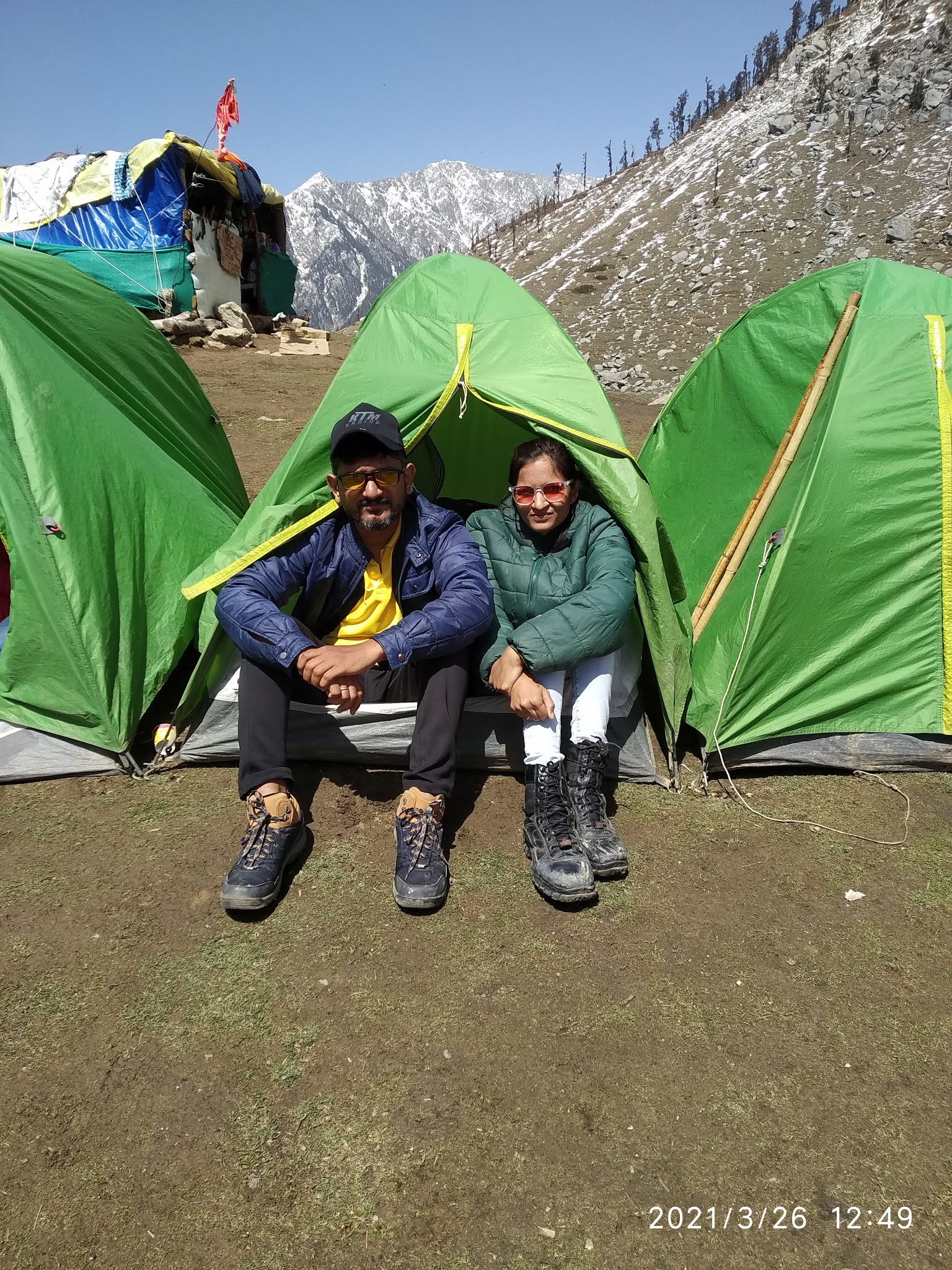
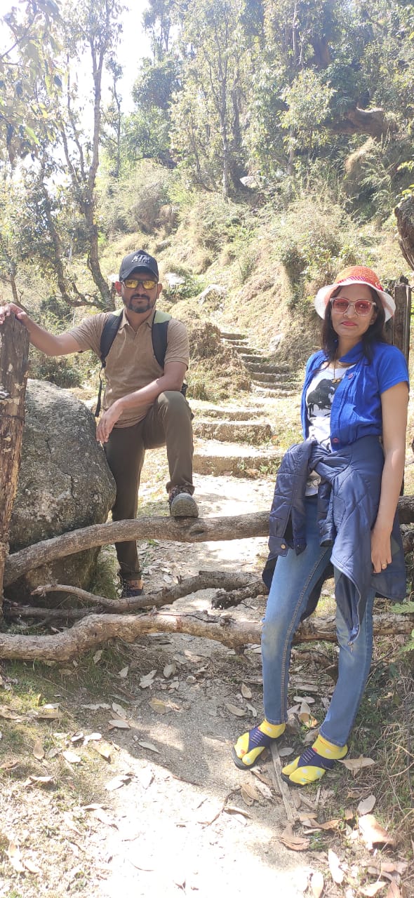
This is unquie combination of new friends, we are 5 people who join this trek & plan make on 25th afternoon, & all agree to leave morning 6.00 am, we 5 are from different categories like IT field, Jwellery, Doctor, Real estate, Engineer.  we enjoy travel by intoducing ourself with our business to eachother. our first halt at Madhi Khamni, Near valol. then next stop is Don hill station, take sip of tea with rain. reach salherwadi, a base point at 10.45am.  Hire a Local Guide & start trek to ward salher forte. it is high edurance trek, with rest & trek we successfully reach at summit where parshuram mandir is at top point of salhher forte. that day totally foggy & we are under clouds, so missed enjoy the open panoramic views of the surrounding mountain ranges, but still enjoy trek.


Madhi ni khamni

@ Don Base Point

@Don Hill Station Top Point

View of Salher from Base Salher wadi
Resting Time


Difficult Time @ trek


@ Top 5141 Feet
Parshuram Mandir, Salher Fort


Sunday 20 June 2021

Roopgadh : The only fort in Dang , Trekking with Friends & Family

Route: Surat - Canal road - NH 8 - Palsana - bardoli- Vyara - Turn toward bhenskatri- kaliben - turn left toward bardipada - roopagdh
Date of Journey 20/6/2021
The only fort in Dangs, Rupgadh fort is located near the village Bhujad, around 45 km from Ahwa on Bardipada-Kalibel road. 
There are two routes to the fort: one from Bardipada-Kalibel road 3 km before village Bhujad off the main road; and another from village Wari-rupgarh in Songarh Taluka of Tapi district, around 7 km from village Bardipada towards Vyara.

This fort is an example of 17th-century Dangi mountain architecture. Located at 1680 feet above MSL, the fort of Roopgdh is the only monument that demonstrates the Dangs' indigenous "Giridurg" architecture A rectangular 3 meters deep water tank, 18 meters long and 16 meters wide, stands on a mass of rock within the ruins. The steps, within the tank, built up of stone without the use of lime indicates Hemadpanthi architectural form and suggests that the tank might have been built before the fort. A 10-12 feet high ruined fort-wall is found on all sides

we started Our Journey From surat 9.00am with family & kids. On way buy stuff for lunch & take breakfast on road bardoli vyara highway. after reaching the base point around 11.30am start the trek with put nessesorystuff along with carrying bag, like water bottles, packed lunch, Raincoat Umbrella, etc. started the trek at 12.00noon & reach on top around 1.45pm with taking rest & photo session during the trek. in between 3-4 time, we get rain while trekking & awesome atmosphere/ after lunch rest for while & return start at 3.00pm & as base point reach 4.30pm. it is a memorable trek for us 


Road Side Breakfast

Breakfast


Raining

Spotted Red Spider in forest
Top Lunch Time
 Rectangular 3 meters deep water tank


Return Toward base
High lights of trek
Video from Up & down route


Monday 7 June 2021

Kilad Eco Camp site near Waghai, Vansda

Date: 6 June 2021
Route: surat- NH 8 - turn right side after Navsari tall - toward vansda - turn left from vansda to vaghai, after crossing vansda national park, before bridging on river right sideboard of kilad campsite, then 2km off-road 

Kilad Eco campsite 

Kilad is located by the side of Ambica River, at a distance of 1.5 km off Vansada-Waghai road. It is about 3 km from Waghai, 115 kms from Surat, and 70 kms from Valsad.

It offers visitors a unique and exciting opportunity to stay in the forest and make friends with it. After an evening campfire under the stars, you can spend the night at the center. There is a fantastic 3-story tree house made of bamboo which is perfect for early morning birdwatching. Entry to the center is charge 10/-.
Visitors must get permission a few days in advance from the Range Forest Officer, Tel: +91 230 230057. There are basic bath and toilet facilities.

Facilities:                                                                        

Orientation Centre,  4 Cottages,  10 Tented Accommodation with separate bathing & toilet facilities

3 Huts, Separate Kitchen & Dining places, Nature Education Camp, Separate area for Campfire

Machaans for landscape & wildlife viewing,  The Campsite has a Solar Electricity Supply, hence the tourists are requested to use the electricity only when and where it is required


Tuesday 30 March 2021

Kareri Lake Trek, Dharamshala, Himachal pradesh march 2021

Kareri Lake is a high altitude, shallow, freshwater lake south of the Dhauladhar range approximately 9 km northwest of Dharamsala in Kangra district, Himachal Pradesh. Its surface is 2934 meters above sea level.
Kareri Lake is an easy to moderate level trek and an ideal expedition for anyone who has maintained a reasonable level of fitness. 

Grade:- Easy To Moderate  Max Altitude:- 9,650 Ft. Approx Trekking Km:- 26 Kms. up and down

Total Distance is 13 km from Kareri Village to Kareri Lake,  first 2 km is a motorable road & next 4 km walking till rioti village. people can hold overnight & next day trek toward kareri lake next day 6km distance. On our journey, we continue a single day 12 km trek reach kareri lake without stop at rioti village.

Day 1
23 March Surat to Delhi
live 8am from surat railway station & journey begins


Day 2
24 march  Delhi to KAreri lake By Road with Innova, Early morning Reach Delhi at 8am, Our Innova is ready for pickup travel toward Dharamshala, On the way, we stop at 70 milestones restaurant fro brunch, & eat golgappa, coffee samosa with our surat taste. then later in evening reach at kareri lake.

Day 3
25 march Early morning Wakeup & witness of Sunrise from a white snow-covered mountain of duladhar range. after breakfast sandwich & aloo paratha, & small photo session at 10am leave for kareri lake trek, first 2 km we ride on jeep. after the reach starting point of the trek, start trekking toward first stop Jheel Point 2km from starting point, the trek is moderate level. then after reach, rioti village takes pack lunch & 30 min rest again start trek toward kareri lake.  we move slowly with rest & photography reach destination at 6.30pm. settle intent take hot soap & campfire. after taking dinner, we are tired & go to a tent in a sleeping bag. Too much cold at lake, we have another 3-4 groups of people who are local enjoy the music & dance overnight.

Day 4 
26 March wake up in early morning time of sunrise, too heavy cold outside. after fresh up & breakfast hot Meggy & tea, move towards kareri lake & surrounding. DO photoshoot in snow & play with snow. return back in the afternoon take lunch & return back toward to kareri village, our return journey started at 2.pm downside & reach base at the starting point at 7.pm with too much tiredness. reach homestay at 8pm After fresh-up we take homestay dinner with traditional Himachal food & 10pm sleep


Day 5
27 March, wake up in late 8am after breakfast at homestay with aloo paratha, dahi & tea. we leave to khabru waterfall near Boh. leave 11 am from kareri village to ward waterfall in bolero. enjoy joy ride with local Himachali song "ladli"& "kamar Teri left rite hove" song, with lovely Velly views on way site sign, return homestay at 5pm & we make self-made food bataanu shak , surti khichdi, rotli with ourself, after dinner chitchat in a room & complete our day with fun.

Day 6
28 March, wakeup at 7 am & after breakfast leave for Bir billing for paragliding, we leave 10am from kareri, ride on bolero till, Dharamshala, then change a car from Dharamshala, shift to Innova & on way visit kashyapbhai freind & reach bir at 12.30pm, after hotel check-in go for paragliding by jeep till billing, words second highest point of paragliding in India is Bir billing. after ride rest in the hotel, evening visit local market & do campfire & relaxed


Day 7
29 March, early in the morning leave for Delhi by road, reach Delhi at 2pm & leave for surat by train in Rajdhani & reach home at 5.30am on 30 march